


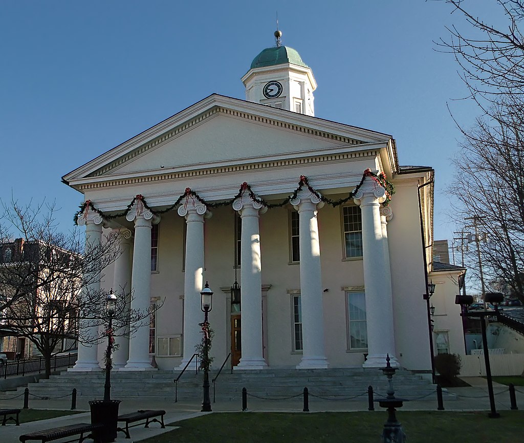
Centre County
Centre County was formed in 1800 from Lycoming, Mifflin, Northumberland, and Huntingdon counties. The county seat is Bellefonte.
For records prior to 1800, consult the records of these counties, depending on the county in which your area was located at the time.
- Centre County Atlas (1874) – Library of Congress
- Centre County Collections on FamilySearch
- Centre County Gazette
- Centre County Genealogy – FamilySearch
- Centre County Genealogical Society
- Centre County Government
- Centre County Historical Society
- Centre County Library and Historical Museum
- Centre County – Library of Congress Items
- Centre County Map (USGS)
- Centre County Newspaper Obituaries
- Centre County Newspapers and Obituaries (LDS)
- Centre County PAGenWeb
- Centre County Public Records – Office of Register and Recorder
- Centre County Towns
- Centre County Vital Records
- Centre Daily Times Newspaper
- Centre Daily Times Obituary Index
- Daily Collegian (Pennsylvania State University)
- Schlow Centre Region Library
Centre County History
The area of Pennsylvania known as Centre County was originally inhabited by the Shawnee Indians, who later came under control of the Iroquois. The first records of colonial exploration of the region came from James Potter in 1764, and the first white settler made his home there in 1769.
By the early 1770’s Potter returned and brought Scots-Irish settlers with him. The first official survey of the region was done in 1776, and land was divided among proprietors. Most early settlers made their living from wheat farming, until 1784 when iron ore was discovered, and over time iron making attracted many new settlers to the area. Much of Centre County’s population is of German and Irish descent. Many of the German immigrants settled in the Penn’s valley area.
Centre County was officially formed in 1800 from sections of Mifflin, Northumberland, Lycoming and Huntingdon counties. The name derives from its geographical central location within the state.
Between 1818 and 1820, the borders between Centre, Union and Lycoming Counties changed slightly, with another border adjustment between Centre-Lycoming in 1836. In 1839, several Centre county towns were surrendered to newly formed Clinton County.
Between 1800 and 1850, Centre and its surrounding counties made up the leading iron producing region in the nation. Bituminous coal has also been a strong source of income for the county. Centre County also remains one of Pennsylvania’s leading areas for agricultural production.
Today, the area covers 1,115 square miles which is mostly made up of farms and forests.
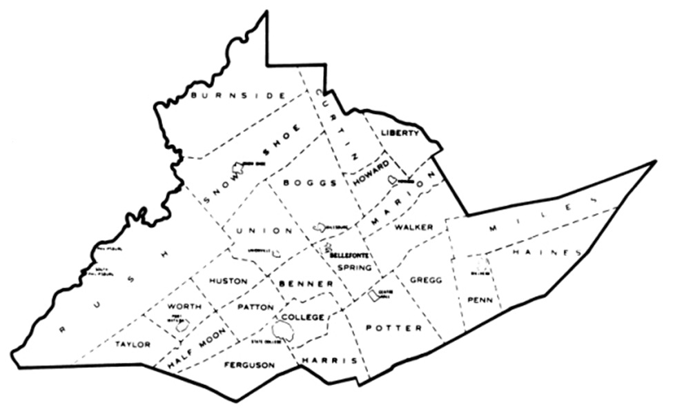
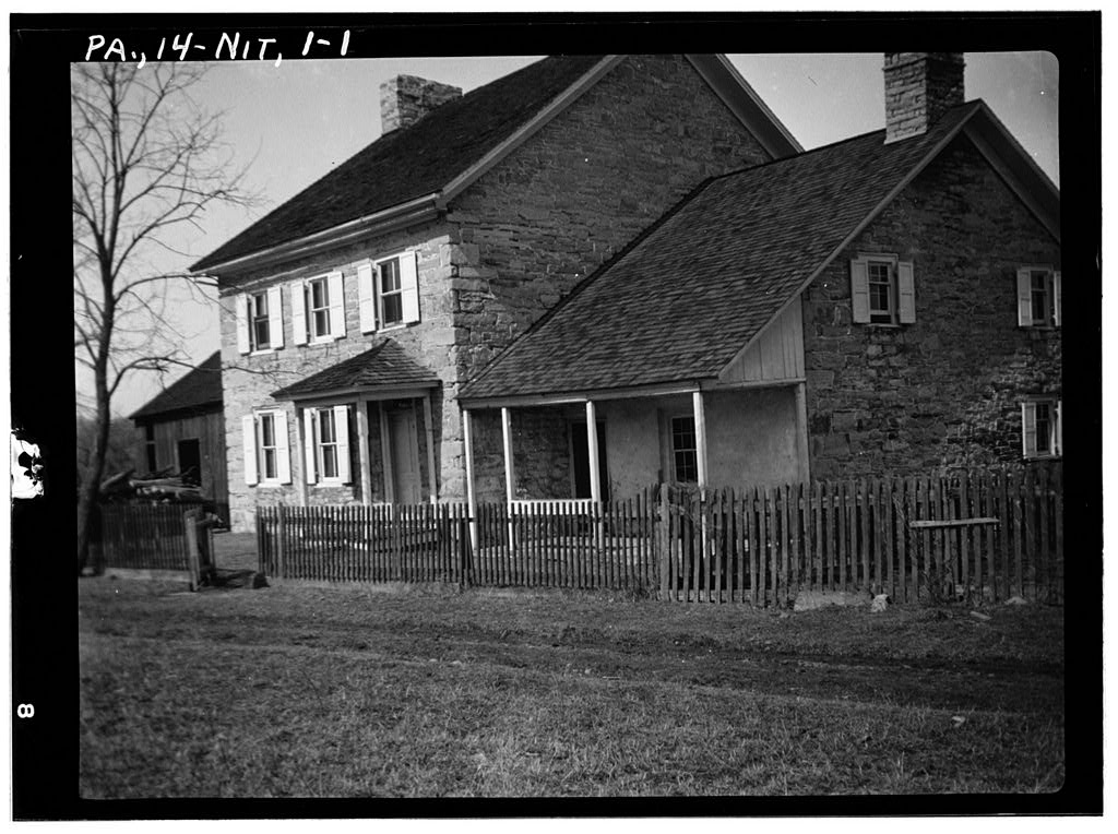
Photo credit: Historic American Buildings Survey, Creator, Michael Schaeffer, Dean E Kennedy, Dean E Kennedy, John E Boodon, and C Bauchspies, Kennedy, Dean E, photographer. Schaeffer House, Route 220, Nittany, Centre County, PA. Pennsylvania Centre County Nittany, 1933. Documentation Compiled After. Photograph. https://www.loc.gov/item/pa0229/.
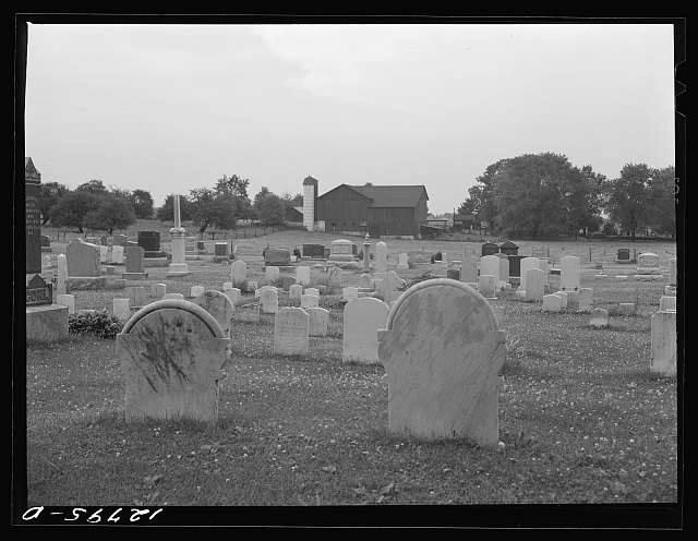
Photo credit: Library of Congress, Prints & Photographs Division, Farm Security Administration/Office of War Information Black-and-White Negatives. LC-USF34-012795-D